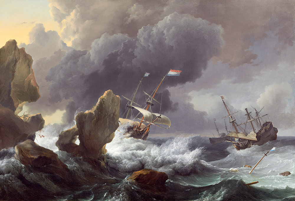
On the night of March 8, 1657, as a Nor’easter raged, a Dutch ship The Prince Maurice slammed into the coast of Fire Island. Aboard were 129 souls – passengers, crew and Dutch West India Company soldiers. Ashore were Indigenous people on their coastal night watch, listening to the ship crash against the shoal.
The New Amsterdam History Center’s Mapping Early NY project uncovered correspondence and ship manifests to pinpoint the shipwreck, and tell the story of the rescue on an ice laden beach.
Richly illustrated with 3D models, interactive maps, and documents, a one-hour talk with Q & A to follow. This history can now be told thanks to a generous grant by the Robert David Lion Gardiner Foundation to extend Mapping Early NY to the tip of Long Island.
Kathryn Curran, Executive Director of the Robert David Lion Gardiner Foundation noted: “We are delighted to support projects that push the boundaries of history, culture, and the digital world. The New Amsterdam History Center’s integration of 3D models, original documents, Encyclopedia, and maps is an entirely new way to experience the past.”
Join Presenters: Toya Dubin, Mapping Early NY Project Director and Drew Shuptar-Rayvis Algonkian Historical Consultant in a presentation that includes interviews with experts.
Shelter Island Historical Society: Thursday, May 16 th 1:00PM - 2:30PM
Port Washington Public Library: Friday May 17 th 7:00PM-8:30PM
Southampton History Museum: Saturday May 18 th, 11AM – 12:30PM
Tickets are free of charge, but reservations are required.
Major Funding for this project provided by:
Robert David Lion Gardiner Foundation, the Society of Daughters of Holland Dames, the First Families of New York, Ken Chase, The Consul General of the Kingdom of the Netherlands-Dutch Culture Future400, along with donors like you!


